Contains over 350 modules to render maps and images on monitor and paper.
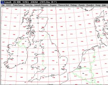
It plots a world map in either azimuth (beam heading) or Mercator projections.
Allows configuration of the T24 range of 2.4GHz telemetry products.
It is designed for planning observations, measuring positions from CCD frames.
Combines visual geographic information with sophisticated computer applications.